Day 3: CIVA & QGIS Training
Unlocking the Power of QGIS for Community Resilience
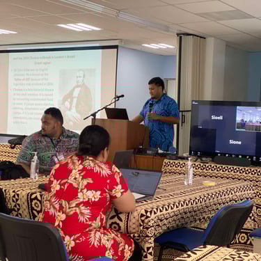
Day 3 of the Community Integrated Vulnerability Assessment (CIVA) Training was a significant leap forward as participants delved into the world of Quantum Geographic Information Systems (QGIS). Led by Mr. Sioeli Lolohea and Mr. Sione Sunia, the session focused on QGIS, an open-source software designed for mapping and spatial data analysis. The training aimed to equip participants with the necessary skills to leverage GIS tools for community planning, disaster preparedness, and informed decision-making.
The day began with an introduction to QGIS, where participants were familiarized with its core features and functionalities. The facilitators highlighted the software’s versatility and explained its role in visualizing and analyzing spatial data. For many participants, this was their first encounter with GIS technology. However, the trainers ensured the learning process was engaging and accessible, starting with a detailed walkthrough of how to install and configure the software. The session also covered the basics of spatial data and the significance of layers, which are foundational elements of any GIS project.
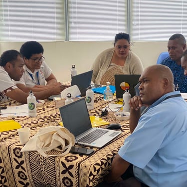
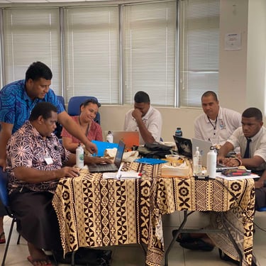
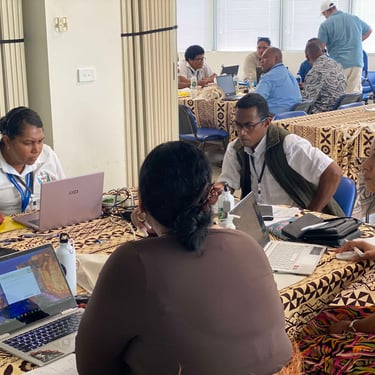
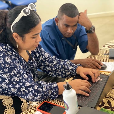
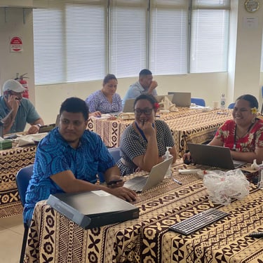
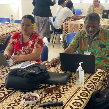
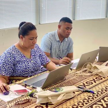
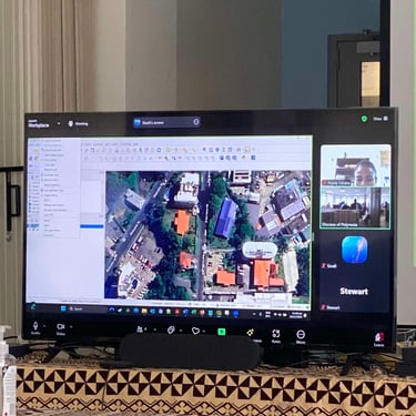
The hands-on component of the training was structured into two parts. In the first segment, participants created their initial QGIS projects, exploring the software’s interface and understanding its various components. They learned how to add base maps using plugins such as Quick Map Services, which provided geographical context to their projects. Through guided exercises, participants practiced navigating maps, zooming in on specific areas, and identifying key features, which helped them build confidence in using the software.
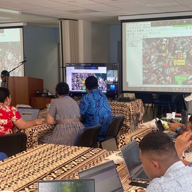
The second segment focused on data creation and map design. Participants were introduced to the process of creating shapefiles, which are custom data layers representing geographic features such as roads, boundaries, or buildings. They enriched these shapefiles by adding attributes, allowing for detailed descriptions of each mapped feature. The session culminated in designing map layouts, where participants combined visual elements such as legends, scale bars, and titles to produce professional-looking maps. These maps are valuable tools for presentations, reports, and community planning initiatives.
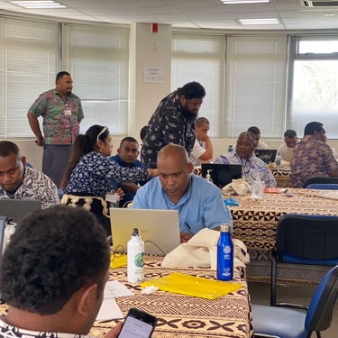
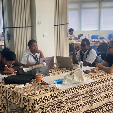
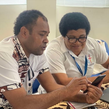
One of the most engaging parts of the day was a collaborative activity where participants began mapping the households within their respective parishes. This practical exercise brought the theoretical and technical components of the training to life. By working together, participants were able to apply their new skills to real-world scenarios, gaining a deeper understanding of how GIS can aid in visualizing community structures and identifying areas of vulnerability. Despite initial apprehensions, especially among first-time users, the participants quickly adapted to the software. The trainers’ supportive and patient approach helped foster an encouraging learning environment where everyone felt comfortable contributing. By the end of the day, participants expressed a strong sense of achievement, having gained not only technical skills but also a new perspective on how technology can support their community work.
Day 3 was a resounding success, not only in terms of technical learning but also in fostering a collaborative spirit among participants. Tomorrow’s session will focus on integrating the Community Integrated Vulnerability Assessment (CIVA) framework with QGIS to support the Safe and Resilient Church Initiative. Participants will learn how to use QGIS to map and analyze data collected through CIVA, visualizing key vulnerabilities and resources within their parishes. This connection will provide valuable insights for developing targeted strategies to enhance safety, improve disaster preparedness, and build resilience within church communities. By combining these tools, we aim to empower participants to make data-driven decisions that protect and strengthen their congregations in the face of ongoing challenges.